Surveying
Precise engineering and mining surveys delivered with technical accuracy.
Technical Accuracy You Can Build On
Our surveying team combines modern instrumentation with rigorous field procedures to deliver measurements that meet statutory, engineering, and mining-grade accuracy requirements.
Request a Survey Quote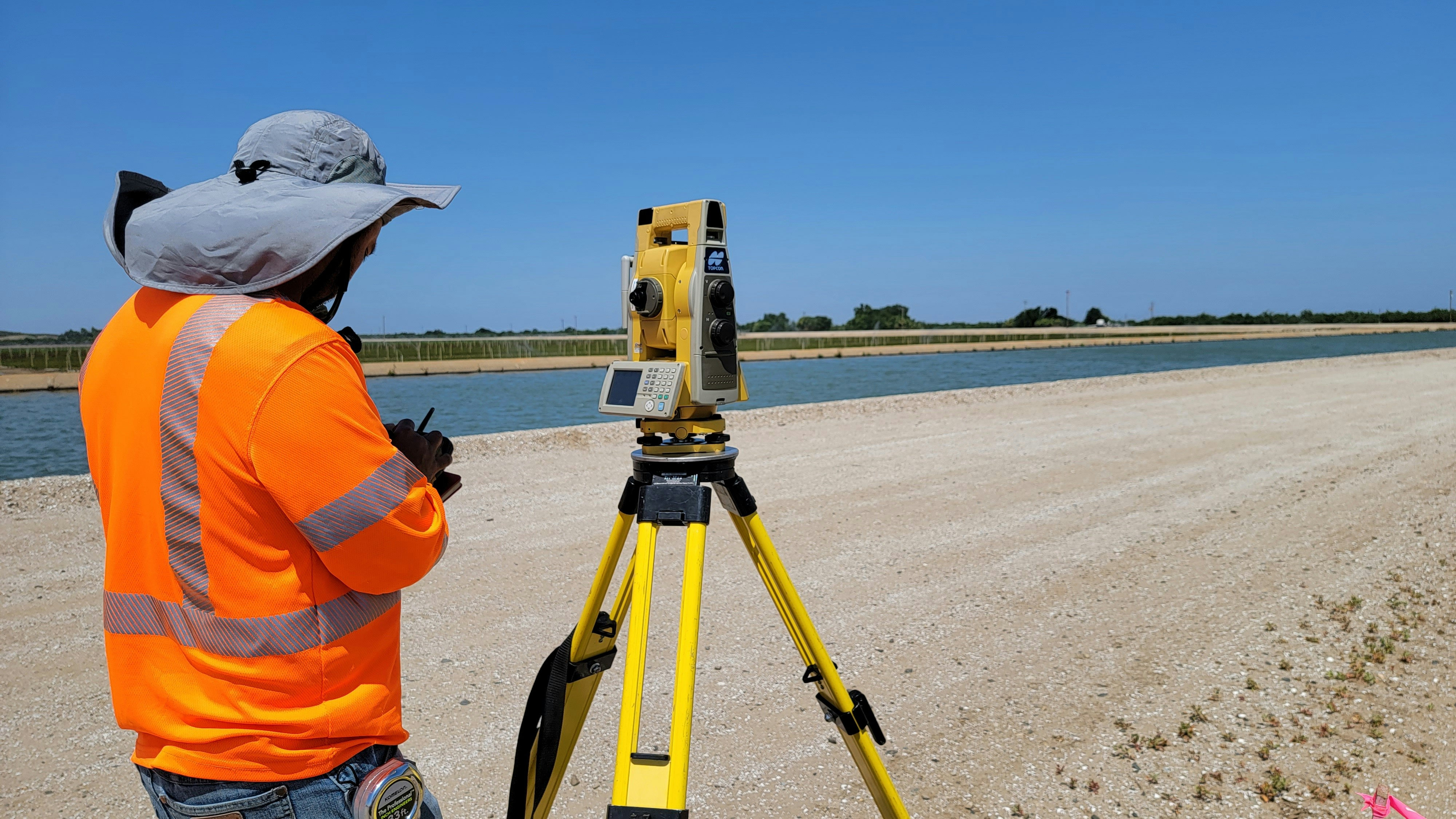
Surveying Services in Zimbabwe
Landsat Geo Engineers provides comprehensive surveying services for private clients, developers, mining companies, and government agencies across Zimbabwe. From urban subdivisions to remote mining claims, our surveyors deliver accurate, defensible data that supports engineering design, statutory approvals, and boundary certainty.
- Topographic surveys — landform, contour, and feature mapping for design and planning.
- Engineering surveys — topographical, route, and setting-out surveys for roads, pipelines, and structures.
- Mining surveys — pegging, beacon relocation, open-pit and underground volume calculations.
- GPS/GNSS and total-station control networks with full traceability and reporting.
Every survey is carried out in accordance with the Surveyor-General's regulations and the relevant professional codes of practice. We support clients through plan approval, beacon inspection, and lodgement processes to ensure smooth delivery of legally compliant survey records.
Whether you need a single erf boundary verified, a 500-hectare topographic model, or a mining tenement pegged to mineral resource boundaries, our team is equipped to deliver.